Short answer
RTK (Real-Time Kinematic) is a correction of the satellite signal in real time. Plain GPS/GNSS gives a position that can be off by a few metres. With RTK the error drops to a few centimetres, and, more importantly, the same position is the same today, tomorrow and a month from now. That repeatability is what makes the difference on a spraying drone, on a tractor with auto-steer and in mapping.
The problem with plain GPS
The GPS receiver in your phone, or in a basic tractor system, gives a position that is usually off by 2–5 metres. That is enough to find the field. It is not nearly enough to:
- spray 2 metres from the previous pass without gaps or overlaps,
- drive a tractor in a straight line, even at night,
- map boundaries and get correct areas,
- return to the same spot in the field next week.
The machine does not know exactly where it is, and every pass is a new estimate.
How RTK works, in plain words
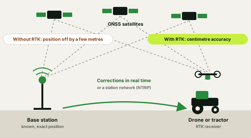
A base station that knows its own exact position watches the satellite signals and works out how wrong they are at that moment. It sends the correction to the receiver on the machine, the drone or the tractor, which corrects its own position. Instead of “somewhere here, within a few metres”, you get a position accurate to a few centimetres.
| Plain GPS/GNSS | RTK | |
|---|---|---|
| Position accuracy | A few metres (typically 2–5 m) | A few centimetres (e.g. 2.5 cm on the FJD AT2) |
| Repeatability | Low: the position drifts over time | High: the same point is the same point |
| What you need | A receiver only | An RTK receiver and corrections from a base or a network |
| Suited to | Finding the field, general navigation | Spraying, auto-steer, mapping, zone-based applications |
Why it matters in farming
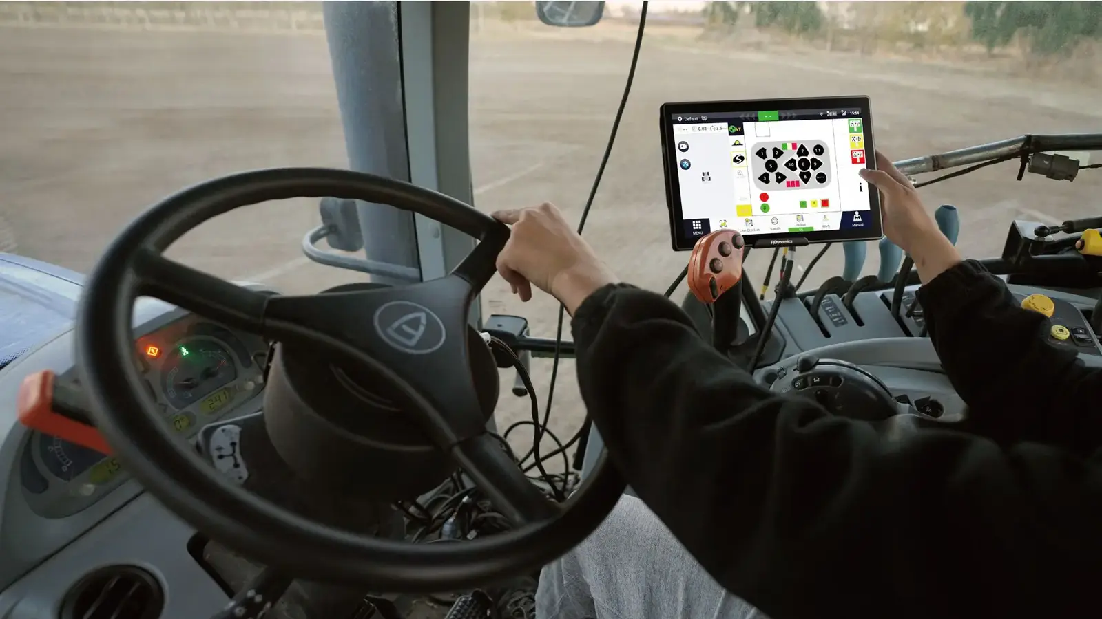
- Auto-steer on the tractor: the tractor follows a straight line with centimetre accuracy, with fewer overlaps and gaps, less fuel and less fatigue. It works at night, when the driver cannot see the line.
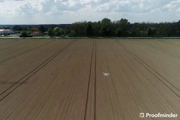
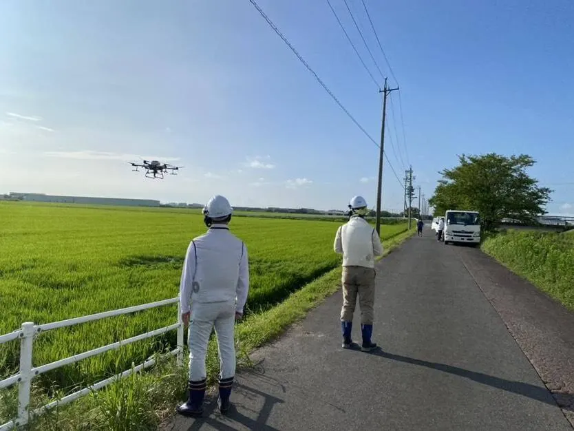
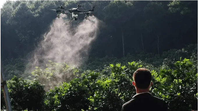
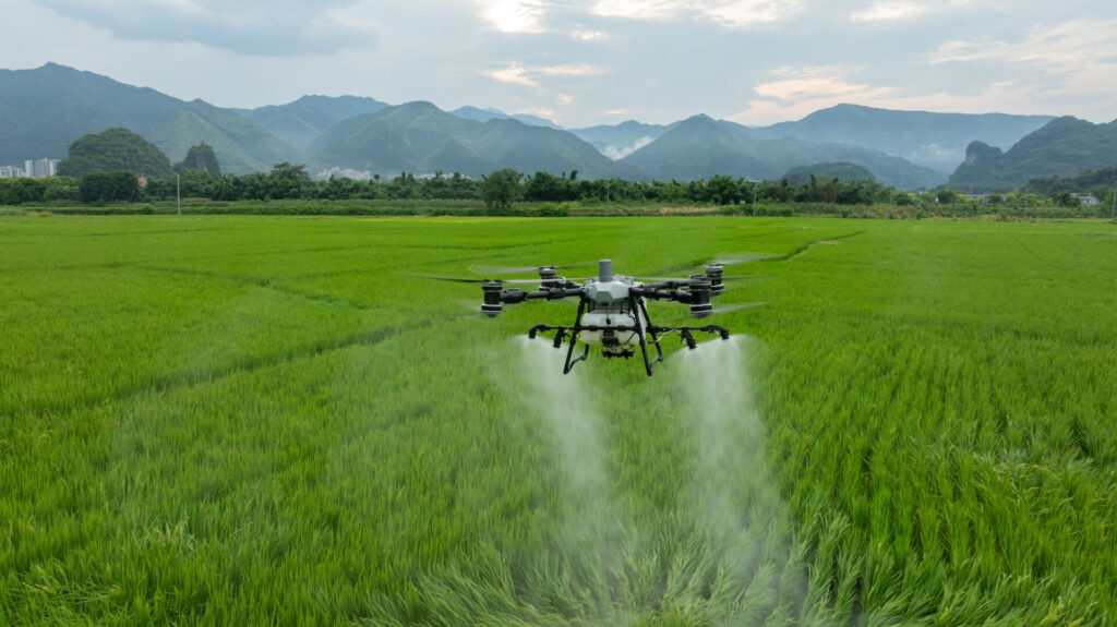
- Spraying with a drone: the drone sprays in parallel lines with a constant spacing, without a lost metre between passes, and returns to the same spot when it needs to repeat or refill.
- Mapping and boundaries: correct area measurements and maps that line up properly, with fewer ground control points (GCPs).
- Product savings: fewer overlaps means fewer litres per hectare for the same result.
- Combining machines: a tractor and a drone on the same coordinate system work in the same frame of reference and not in two different worlds.
How you get the corrections: your own base or a network
There are two ways, and each suits a different case.
| Your own base station | Network (NTRIP) | |
|---|---|---|
| How it works | You buy a station and set it up at a fixed point, for example at a house or barn | A subscription to a service that sends corrections from a network of stations over the internet |
| Cost | One-off, no subscription | Annual subscription |
| Internet | Works locally, without internet, as long as it is connected to the machine | Needs a connection for the corrections to arrive |
| Coverage | The area around the station; accuracy drops as you move away (about 1 mm per kilometre on the Phantom 4 RTK) | Wherever the network and station coverage reach |
| Best for | Anyone who works permanently in one area: it often pays for itself quickly | Anyone who moves between many areas or wants to start without base equipment |
FLYDROPS offers an RTK network subscription, priced on request, and, for FJD auto-steer systems, the FJD V1 base station as an accessory. If you are not sure which suits your own acreage, tell us where and how you work and we will recommend one.
RTK on drones and on tractors
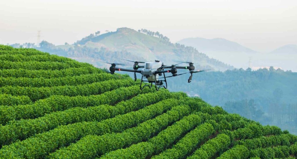
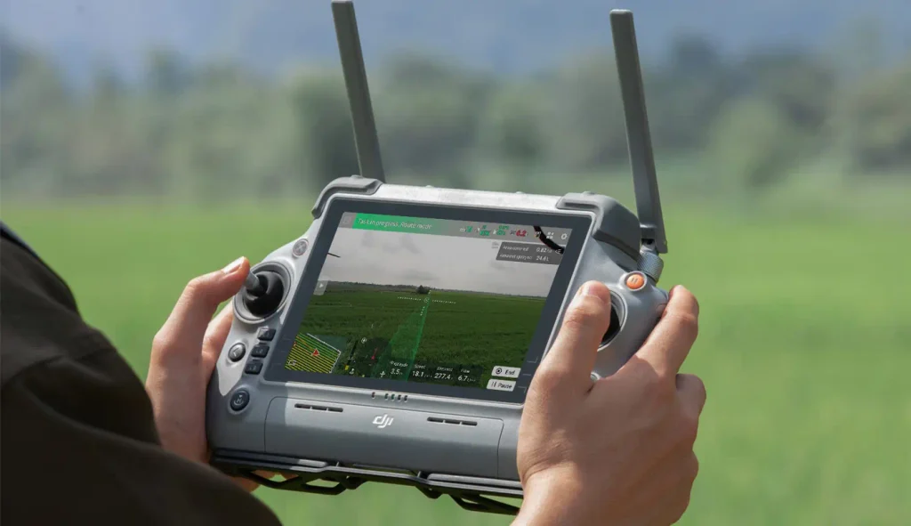
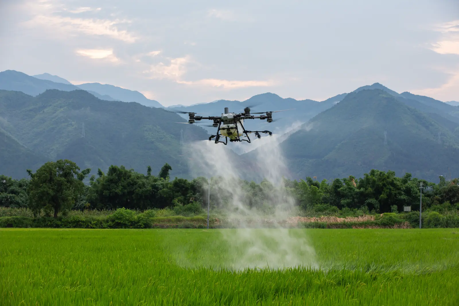
On DJI Agras spraying drones RTK is built in: the machine receives corrections and flies centimetre-accurate lines, automatically, without the operator having to drag the path. See the current models, T55, T70P, T100 and T25P, or find which one fits your acreage.
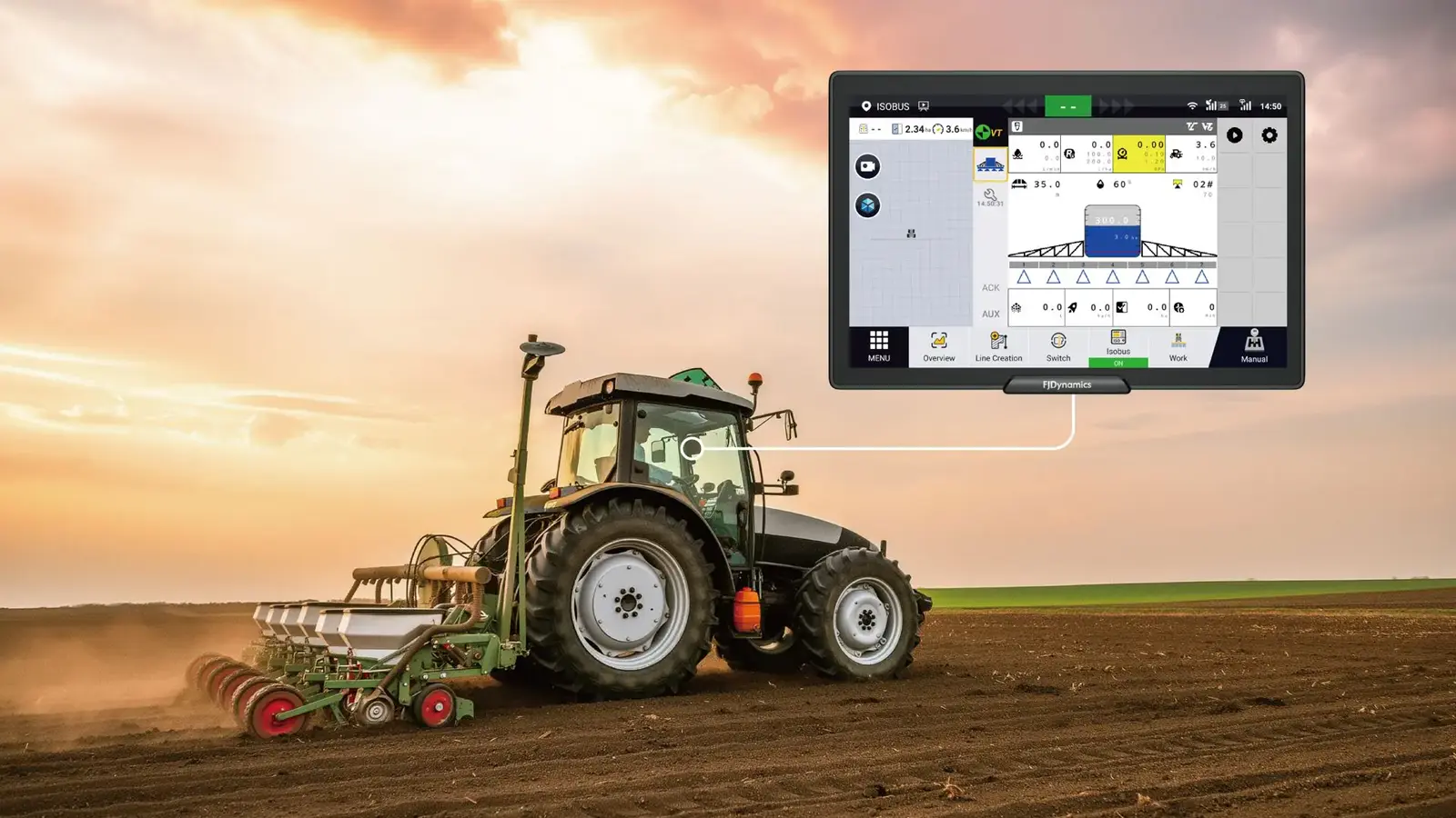
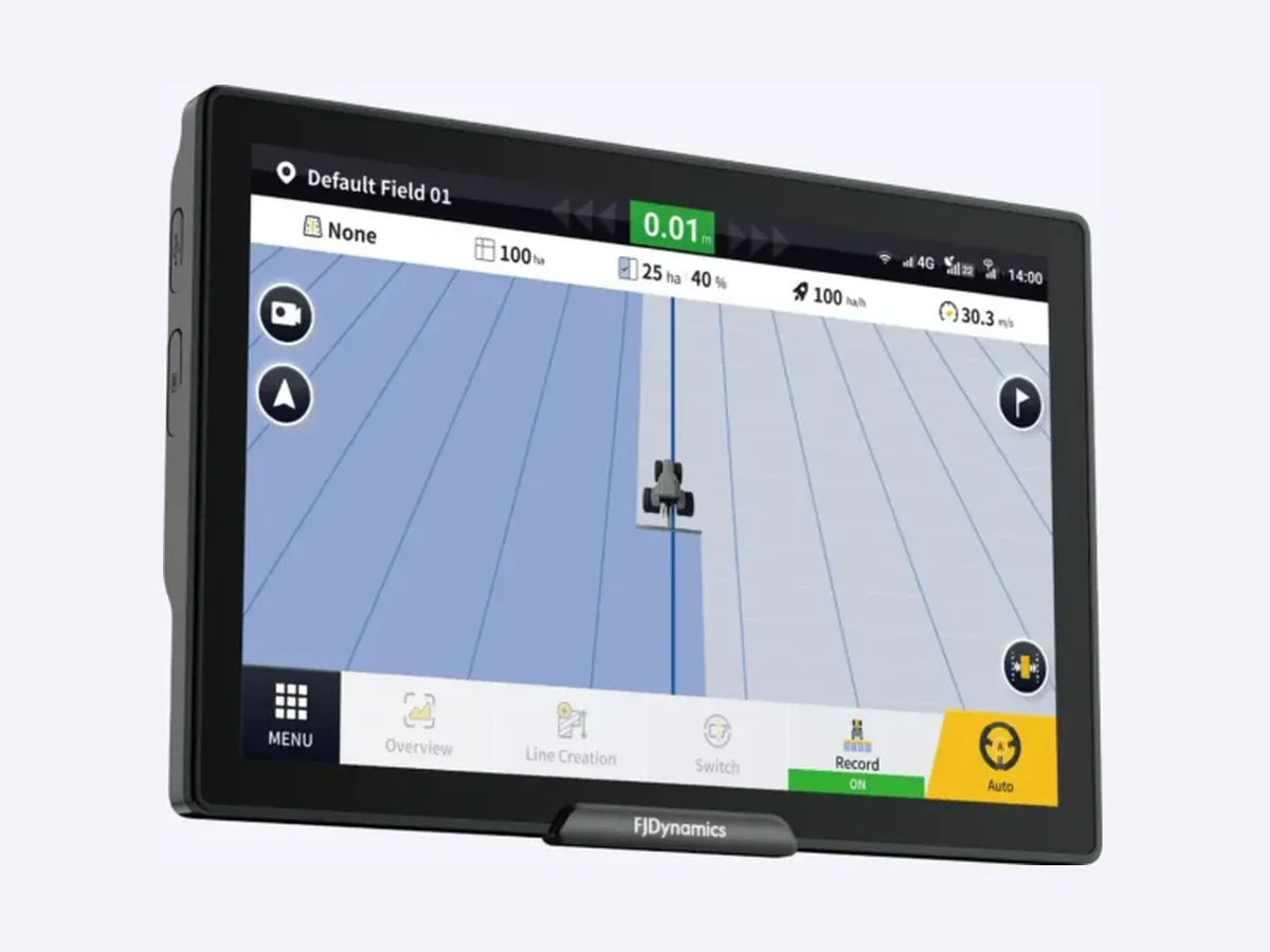
On tractors, auto-steer systems accept RTK and hold the tractor on a line with centimetre accuracy, with minimal work from the driver. The FJD AT2, for example, combines GNSS and RTK for 2.5 cm accuracy. See the FJ Dynamics products, such as the AT2, AT2 Max and AT2 Lite. The same RTK system can feed both the drones and the tractor’s auto-steer, as long as the service you choose supports them.
RTK raises accuracy in mapping too: the Phantom 4 RTK has a built-in RTK module and gives centimetre-level position data, with fewer ground control points. And the field mapping service and VRA map creation rely on correctly positioned data.
What to check before you buy
- Signal coverage: check that the corrections reach your fields, not just your office.
- Repeatability, not only accuracy: ask to see work samples, for example lines from two different days, before you pick a system.
- Open sky: trees, buildings and mountainous terrain affect the signal. In those cases the solution can lose its accuracy.
- Compatibility: if you already have a drone or an auto-steer system, make sure the new equipment “speaks” to the same RTK system.
- Setup and support: RTK needs a proper first setup and someone to call when something goes wrong. FLYDROPS is local, in Koufalia near Thessaloniki, and a drone purchase includes training.
When it pays off and when it does not
For very small areas, say 2–3 hectares, RTK may not be necessary to get started. Once you have many passes, night work, slopes or two machines, the product and fuel savings from fewer overlaps add up quickly. That is also why many people start with one system and extend it across all their equipment.
Frequently asked questions
How accurate is RTK?
A few centimetres, when the system is set up correctly and has a clear sky. For example, the FJD AT2 system gives 2.5 cm accuracy. Without RTK, plain GPS has an error of up to 2–5 metres.
Does RTK need a subscription?
It depends on how you get the corrections. With your own base station there is no subscription. With a network (NTRIP) there is an annual cost. FLYDROPS offers an RTK network subscription; the price is given on request.
Does it work without internet?
A base station works locally, without internet, as long as it is connected to the machine. NTRIP networks need a connection to deliver the corrections.
Is it worth it on a small area?
For 2–3 hectares maybe not right away. Once you have many passes, night work, slopes or already two machines, the product and fuel savings from fewer overlaps add up quickly.
Can the drone and the tractor share the same RTK?
Yes, as long as both are supported by the same service or base station. If you want them to work at the same time, ask us: depending on the service you may need a second connection or your own base station.
Do I need RTK to spray with a drone?
DJI Agras drones have RTK built in so they fly centimetre-accurate lines and repeat the same spot. Whether drone spraying is allowed in your country is a separate matter: see the buying guide.
Want to see what centimetre accuracy means in your own field?
FLYDROPS (Koufalia, Thessaloniki) sets you up with a DJI Agras drone and FJD auto-steer equipment, with a demonstration and local support. Call (+30) 2391 301149 or request a quote. See also the spraying drone buying guide.