Field Mapping
Outline
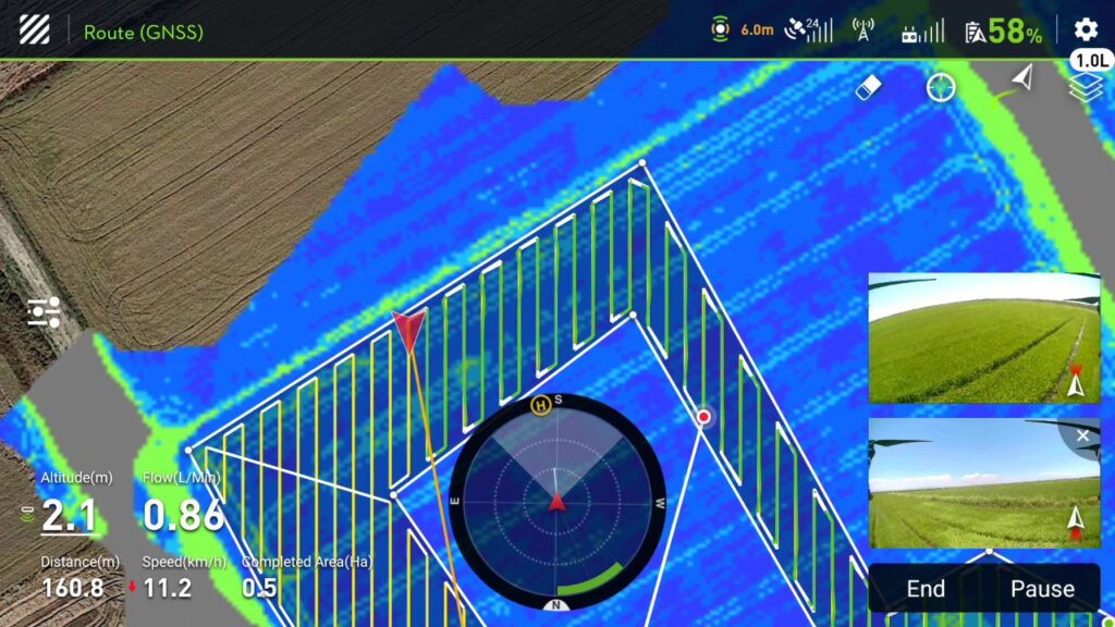
Mapping the fields for use by DJI AGRAS drones is a time-consuming and tedious process. FLYDROPS has the right tools to handle your field mapping quickly, reliably and with RTK accuracy.

Firstly, you show us your field. We, then, proceed to a DJI Phantom RTK flight and aerial photography of your field with RTK precision.
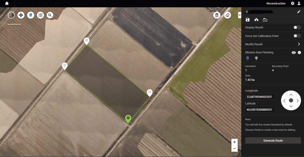
Next, the data is processed with the DJI Terra software, where the boundaries of your field are marked. Finally, you receive your field in a suitable digital format, on a micro SD card, ready for use in your DJI AGRAS!